The post Rio Macae appeared first on Rivers of Chile.
]]>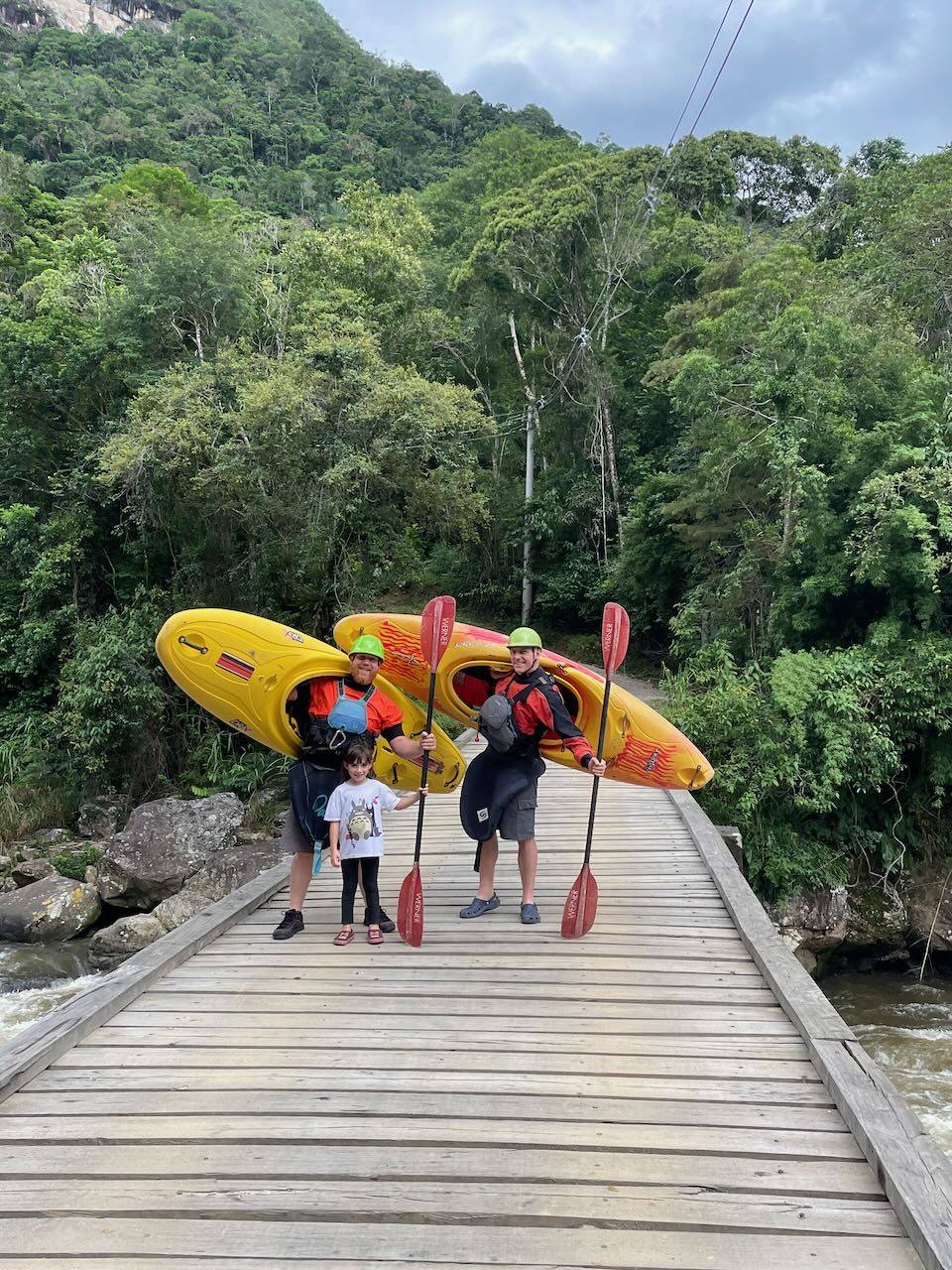
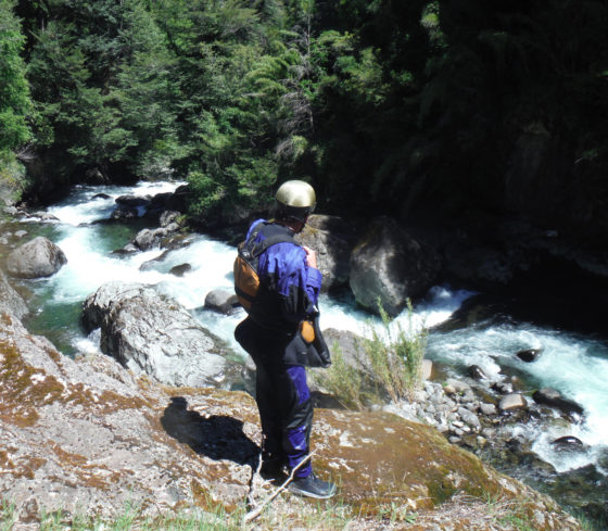
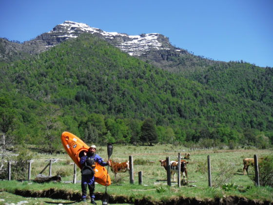
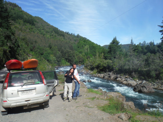
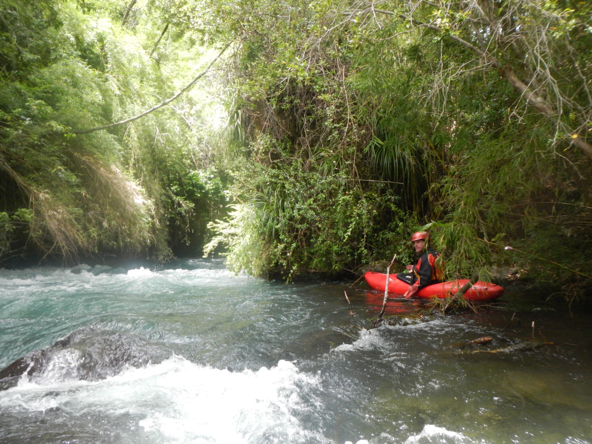
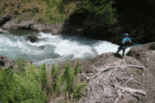
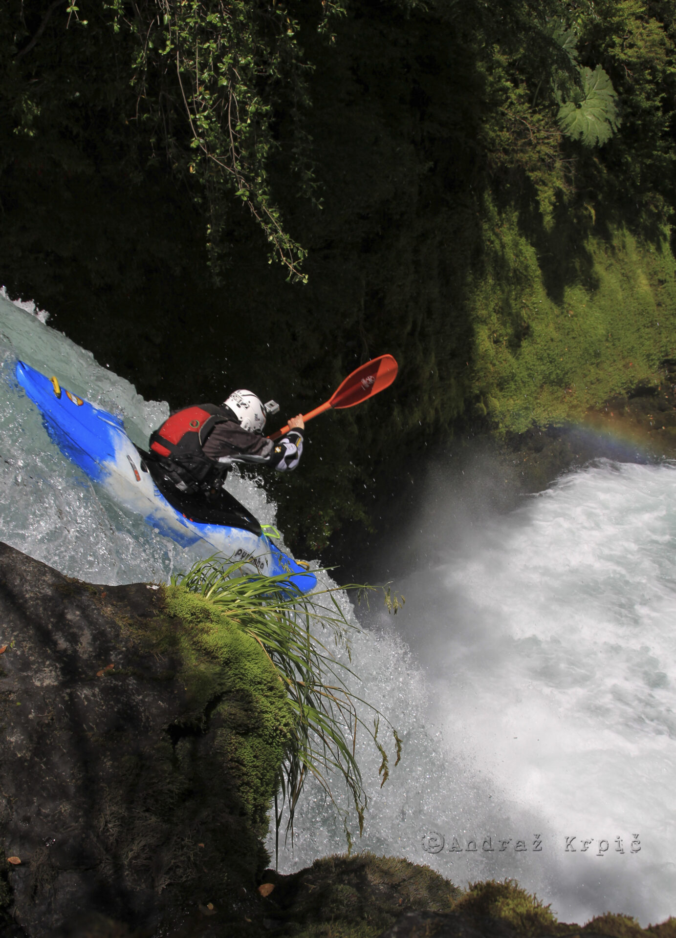
Bruno Rutman and Fields Marshall pictured above in Encontro Dos Rios (Lumiar)
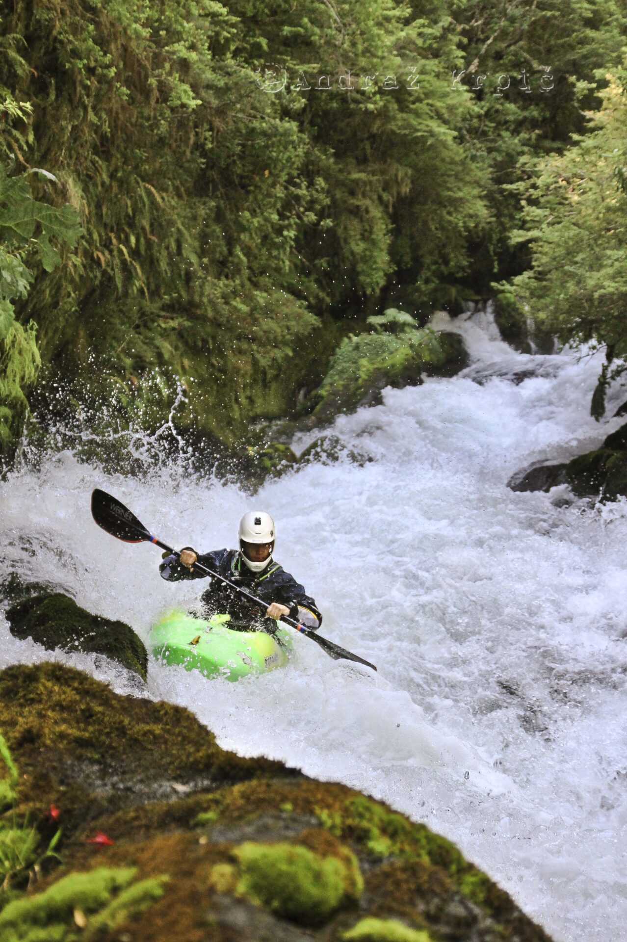
Whitewater Kayaking on Macaé River
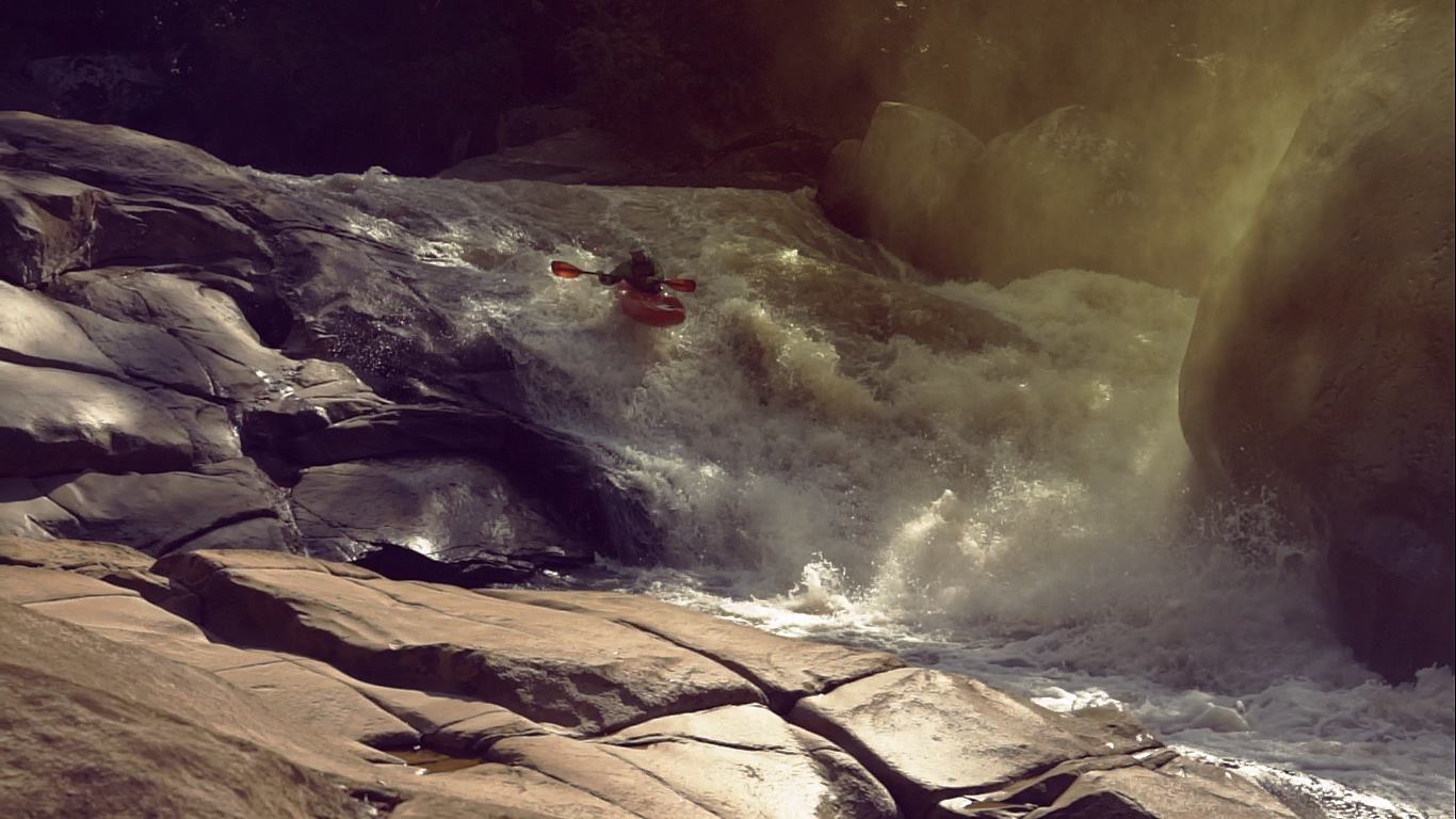
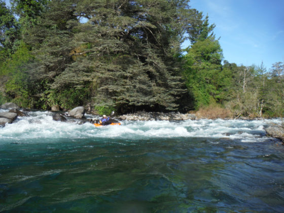
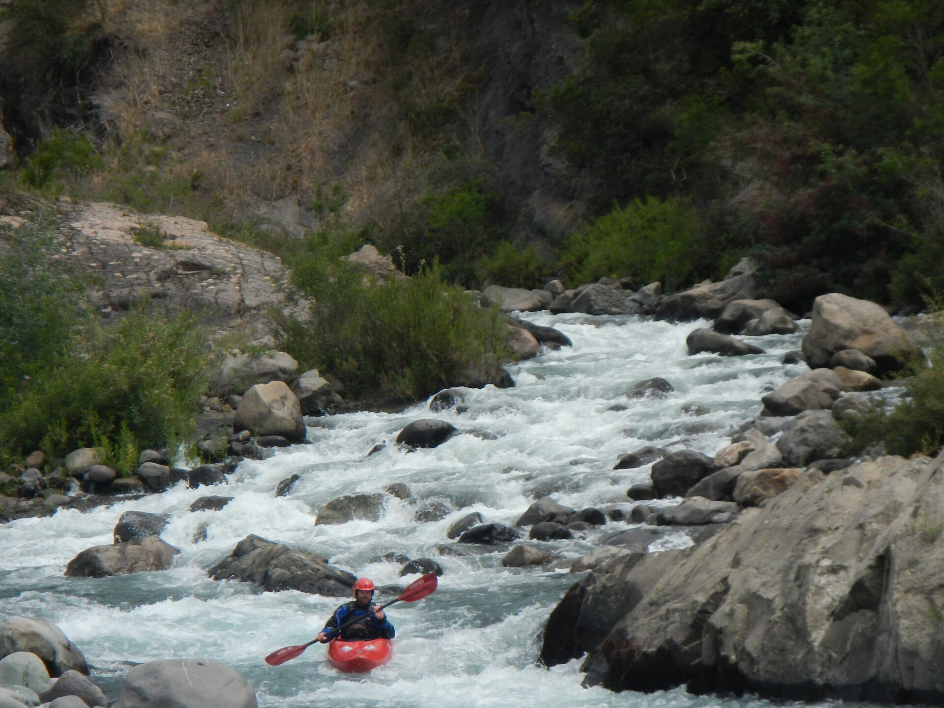
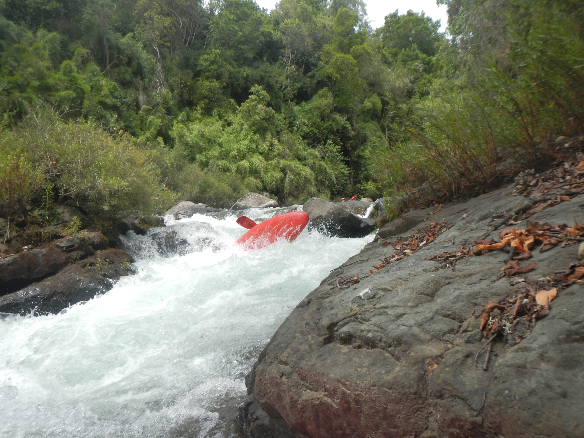
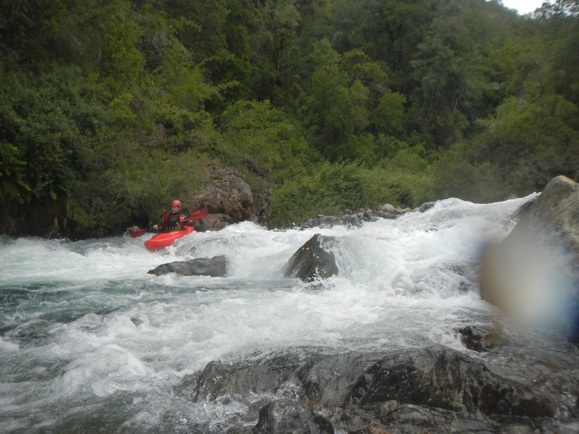
- Diverse Rapids: This river features rapids ranging from Class I to Class V with warm water in the lush Atlantic Forest.
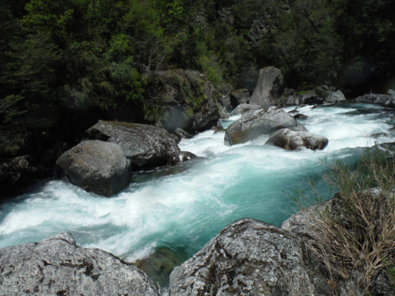
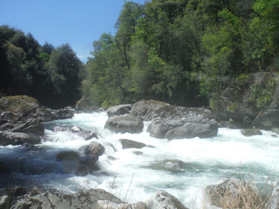
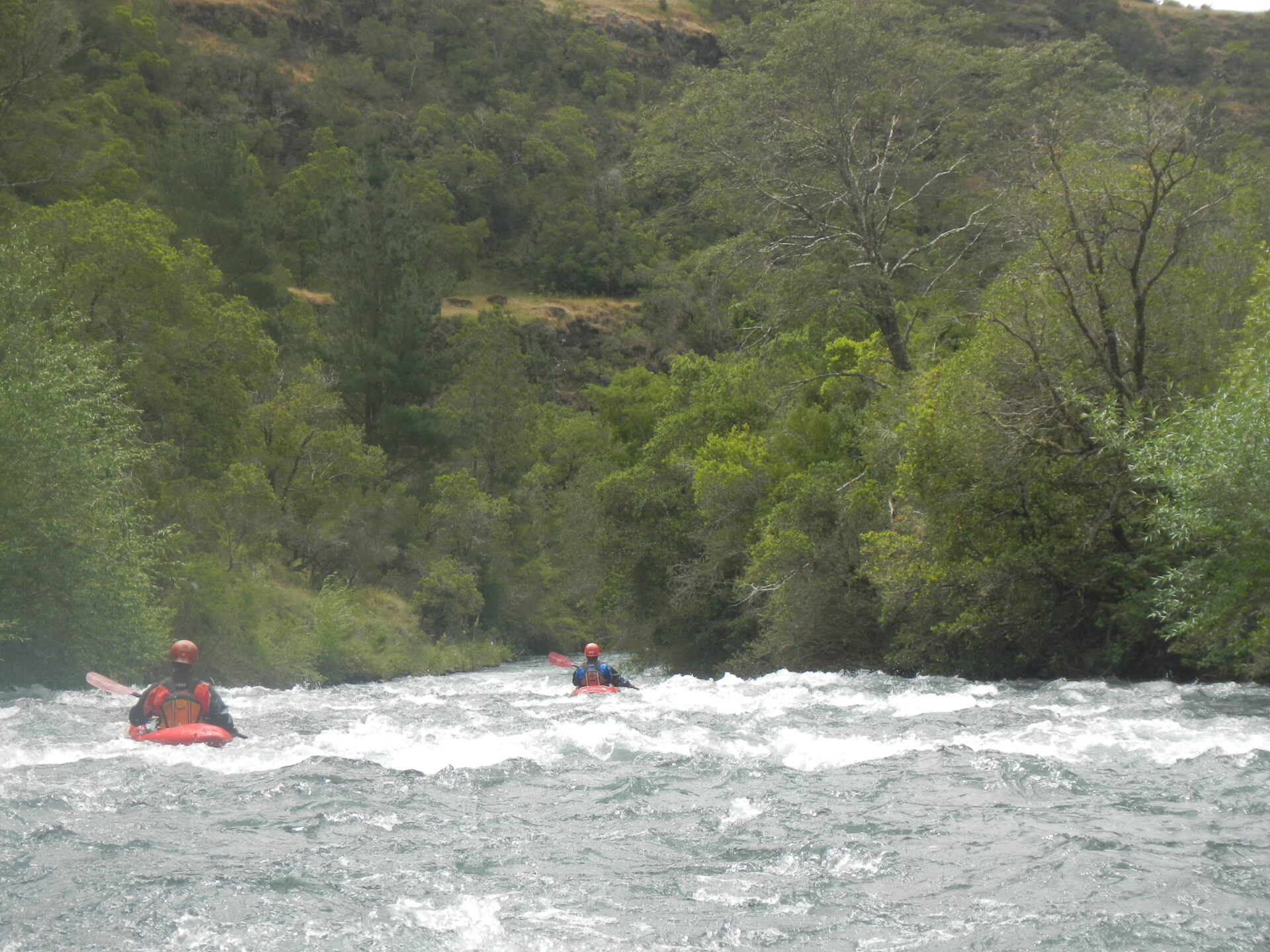
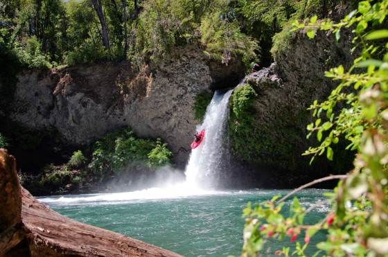
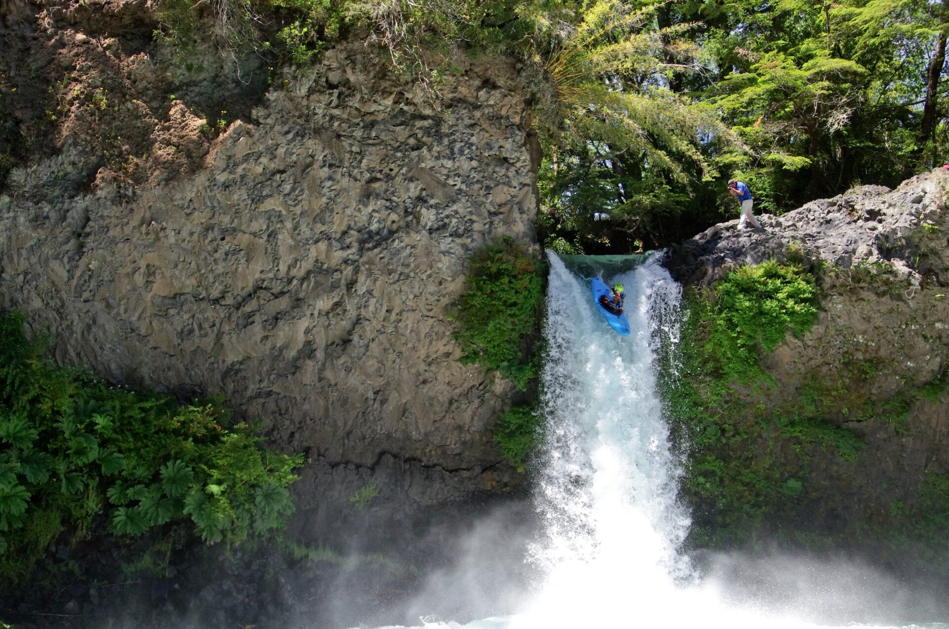
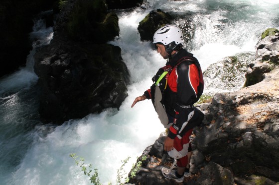
- Popular Sections: While this river can be divided in many ways. For kayakers there are essentially three sections of the Macaé river. The upper ( class 3 + ) , middle ( class 4 – 5 ) and lower (class 4+ ) at normal flows. The rainy season lasts from December to April.
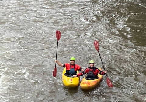
- Guided Tours: There are several adventure companies offering guided kayaking and rafting tours on the Rio Macaé, I am recommending Bruno Rutman whose pousada (Encontro Dos Rios Pousada) is found where the Macaé river meets the river Bonito.
Macaé River Sections
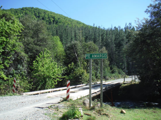
Upper Macaé
Is a short section of class three plus that takes place near the Encontro De Los Rios where the Bonito and Macaé river meet. Starting at Encontro Dos Rios and ending near Ponte em Sao Luiza
Middle Macaé
Not only is the middle Macaé rated at a difficulty level of class 4 and 5 during the wet season. The middle Macaé is hard to walk out of because it goes away from the road. The middle Macaé starts near Ponte em Sao Luiza and ends at the Pousada Cascata.
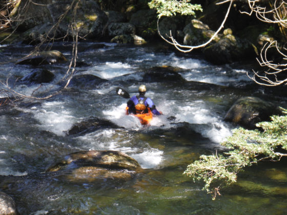
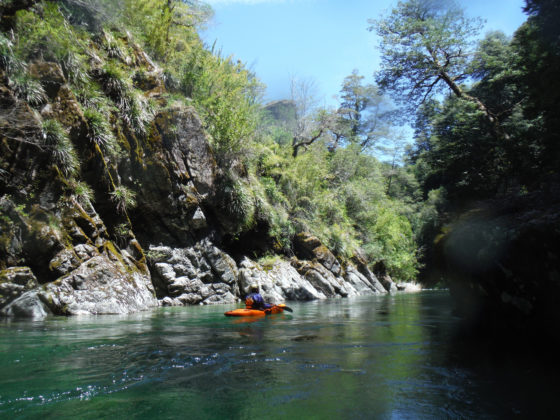
Lower Macaé
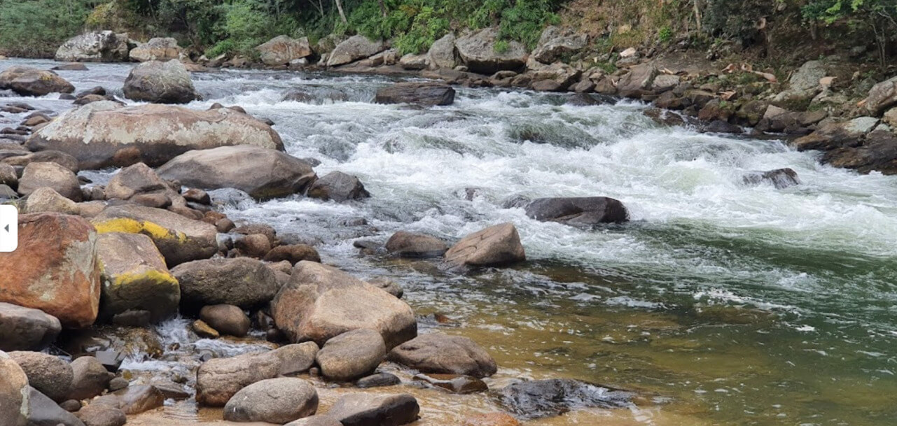
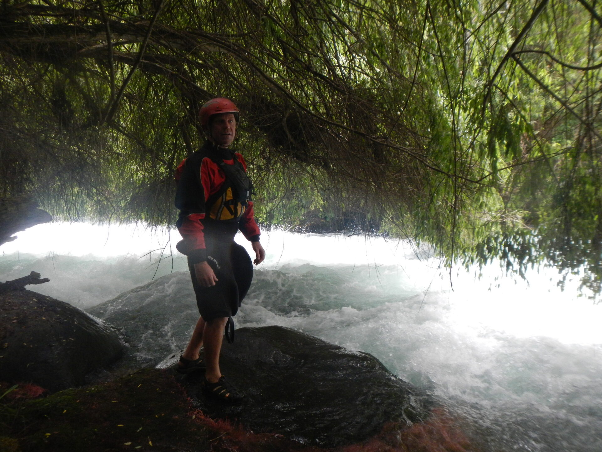
This is a 15 km long section that took a bit over 4 hours to complete and involved 3 portages. Normally always 2 portages. One portage was after the Fumaca waterfall right at the beginning of the run. The lower Macaé starts near the Pousada Cascata and ends near Nativa Rafting
Conservation Efforts and Opposition to Hydroelectric Projects:
In recent years, there has been significant concern regarding proposals to construct small hydroelectric plants (Pequenas Centrais Hidrelétricas – PCHs) along the Rio Macaé. Much development pose threats to the river’s free flow, biodiversity, and the livelihoods of communities dependent on it.

In May 2022, the “Encontro Rio Macaé Livre” event was held in Lumiar, gathering over 30 canoeists from various parts of Brazil.his event combined the thrill of the sport with environmental activism, aiming to raise awareness about the potential ecological and social impacts of damming the river.articipants navigated sections of the river, including areas proposed for dam construction, to highlight the importance of preserving its natural state
Advocates for the river emphasize its ecological significance, potential for sustainable tourism, and role in supporting local communities.hey argue that the construction of dams would lead to irreversible environmental damage and advocate for the recognition of Rio Macaé as a national treasure, serving as a model for environmental conservation for future generations.
The movement to protect Rio Macaé underscores the broader global conversation about balancing energy development with environmental preservation and the rights of local communities.
Free Flowing Rivers Movement
The post Rio Macae appeared first on Rivers of Chile.
]]>


 The river continues at a fun pace and gradually goes flat. At this point the 1st crew thought they were finished with the run, but 4 more 15′ drops awaited downstream along with a landslide that diverted the river through a forest! The first 15′ after the “false run out”was only run by Evan on the first descent where a bad line on the left through a manky pile of rocks coined the name “ass banger”. Jared ran the drop on the 2nd descent with a more thought out line that turned out better off the middle clearing the rocks in the landing zone. More boogie water leads quickly into the 2nd of the last four 15′. Called “el nombre de mi polola” or “La Pacha Mama” one of the best drops on the run. A stout lead in down the left splits two directions with both 15′ drops on either side proved runnable. Big logs piled in the middle between the two falls characterizes the drop. This drop is difficult to see coming and is best scouted by scraping over a far right channel into a small eddy on the right. This drop may be mandatory, but if you feel the need to portage you probably shouldn’t be on the run. Wood could be an issue in this drop in which case a throw and go portage from the logs could be done or maybe hellish bush whacking through the woods on the right would be the best option. Soon after this falls is the landslide forest. Run cautiously through a maze of trees and strainers on the left. More boogie…seriously very little flat water on this run, brings you to a super gnar 15′ falls into a tunnel like siphon on the right, run only by scraping down the FAR LEFT, as far from this potential boater swallowing siphon as possible, one of the nastiest siphons I’ve seen! More boogie water leads to the last drop, 15′ down the middle boof with a possible plug line on the left. Dubbed the 4.20 drop. Finally, finishing off with 2 km of shallow run out to Puente Llancahue. A gauge for the run can be judged by the middle bridge embutment 3 inches showing on the river right corner of the lowest concrete slab is optimal. If water is over this the run will become very dangerous due to washed out eddies. The first descent was done in a very low water year in late December. During a regular season I would imagine this section will be runnable in late January. The river holds water very well and if you think it may be too high don’t go!!! (I believe higher water descents will be possible in the future- but not unless you know the run very well-as you will not be able to stop in some of the steep sections). You can also judge the flow at the put-in by looking at the lip of Gerd’s drop. If water is spilling over a right channel at the lip it is probably too high. This run requires class 5+ skill level with exceptional eddy catching skills. Arguably, the stoutest steep creek run in Chile! Cuidado mother F@*&er$!!!