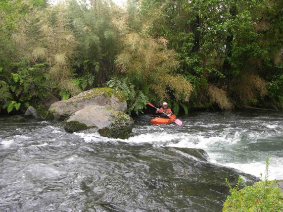
A small class 3 creek with its headwaters in Parque Nacional Vicente Perez Rosales in Chile´s 10th Region de Los Lagos. Flowing north off the snow capped peak of Osorno (2652 meters), this small volume creek offers an interesting option while in the Lago Llanquihue area.

Put in Rio Blanco de Coihueco
To reach the river from Ruta 5 take the paved road to Puerto Octay. From here travel east around the north side of the lake for 44 km. Take the gravel road to the left for 10.8 KM and you will reach Puente Blanco. There is a pisicultura on the left so best to put in 100 meters downstream on river right. The GPS coordinates of this point are 40° 58´21.76¨S and 72°35´15.77¨W and elevation 250 meters.
To reach the takeout return 1.2 KM on gravel road and turn right right. Follow this secondary road 1.5 km to log bridge over the river. Part of this road is steep and might require 4 wheel drive. Takeout is at 200 meters elevation.
The 2 km stretch drops on average 25 meters per kilometer or 125 FPM. We ran the creek in mid January and it about 150 CFS which was low but reasonable.
There are no big rapids, a few dangerous logs but plenty of boogy water. The creek is by no means a classic but is on the same road as for the main Coihueco run so can easily be combined.
Other nearby rivers include Petrohue, Bonito, and Coihueco
Topo map of area is titled Cabildo Rupanco IGM034
